
Map templates

Creating pioneering maps
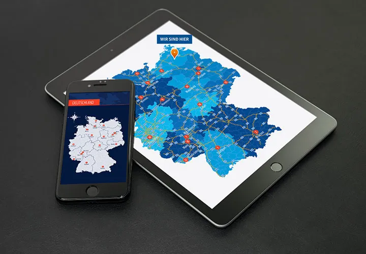
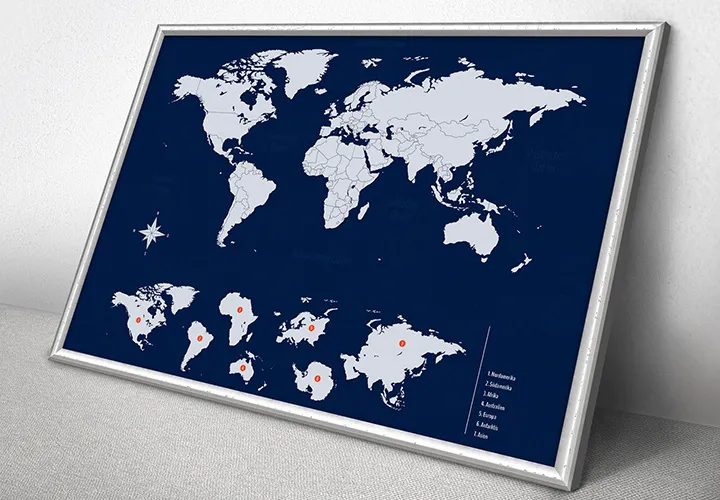
Wherever your journey takes you - our templates for creating maps will get you to your graphic design goals quickly and easily. From counties to the whole world, we provide you with an almost limitless selection for creating site plans and indicating company locations , for example. You can use the templates in freely scalable vector quality. Follow your creative compass now and start the download:
85 vector-based, modern graphics
As vectors and PNG files
Including icons for location marking
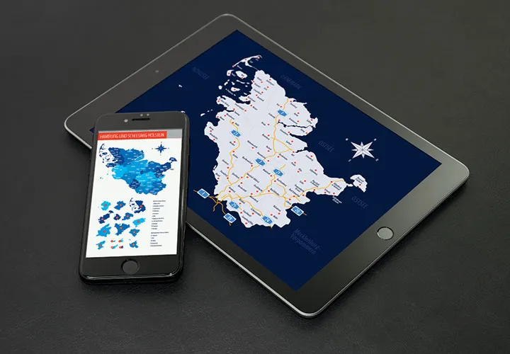
Two federal states in one package
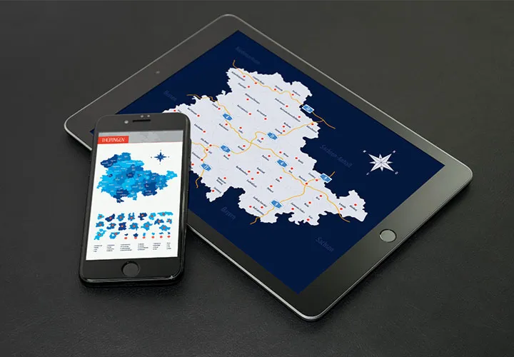
Map material in vector quality
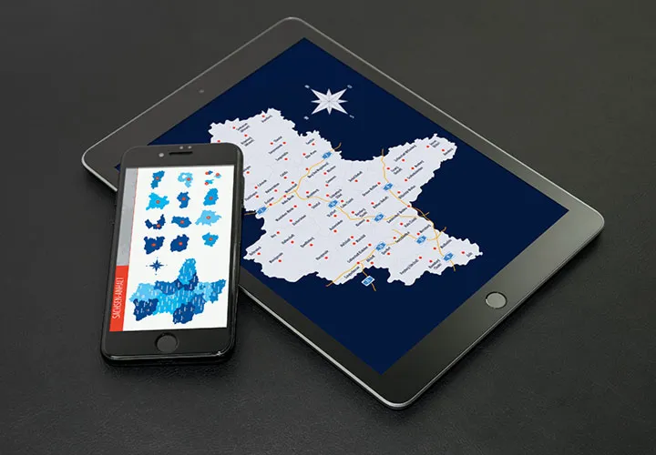
Suitable for web and print
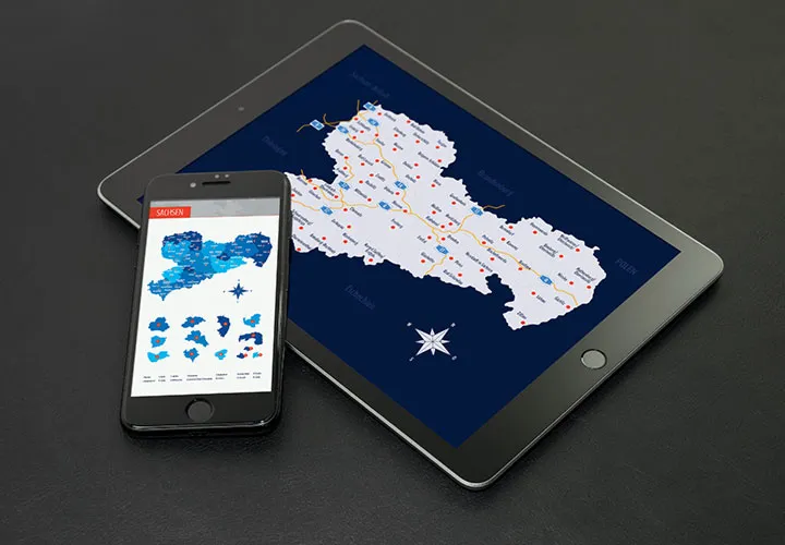
Suitable for web and print
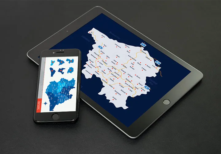
Maps in vector quality
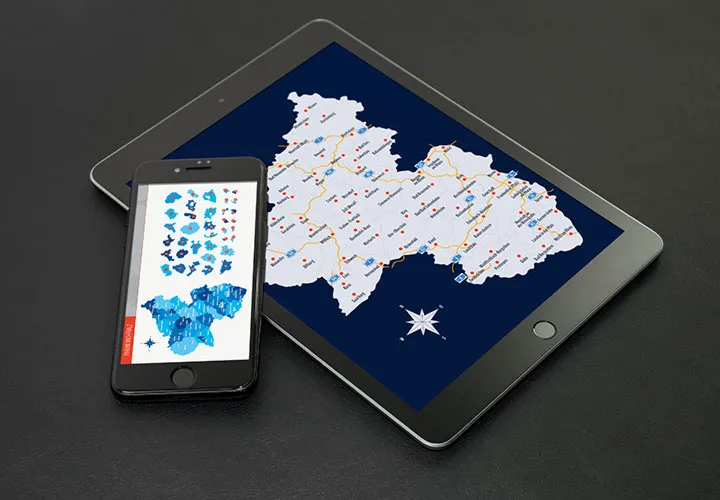
Map material for web and print
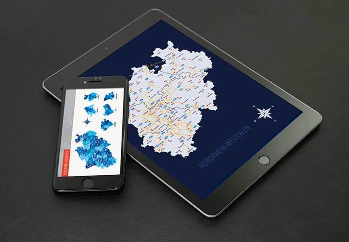
Simply add the cards to your designs
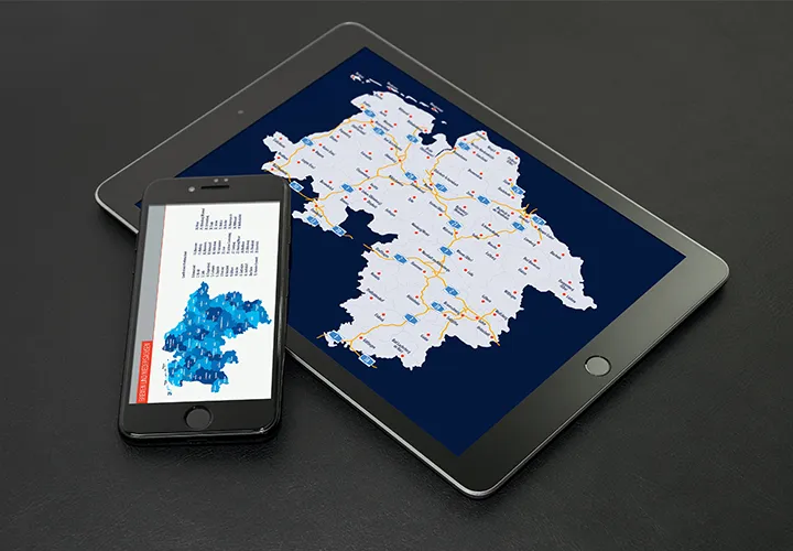
Maps for large and small areas
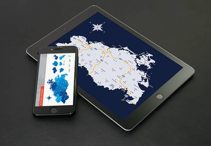
Suitable for web and print
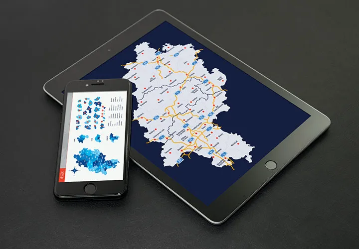
Vector-based map material
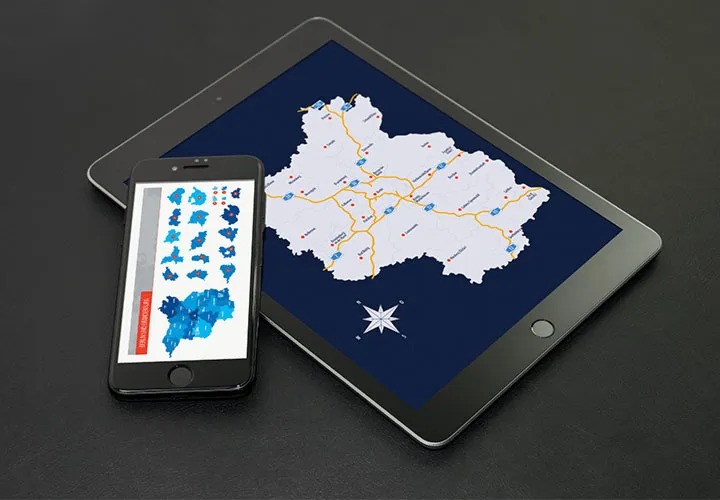
Vector quality for your designs
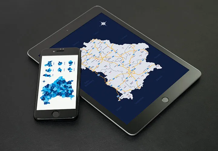
Card material for your designs
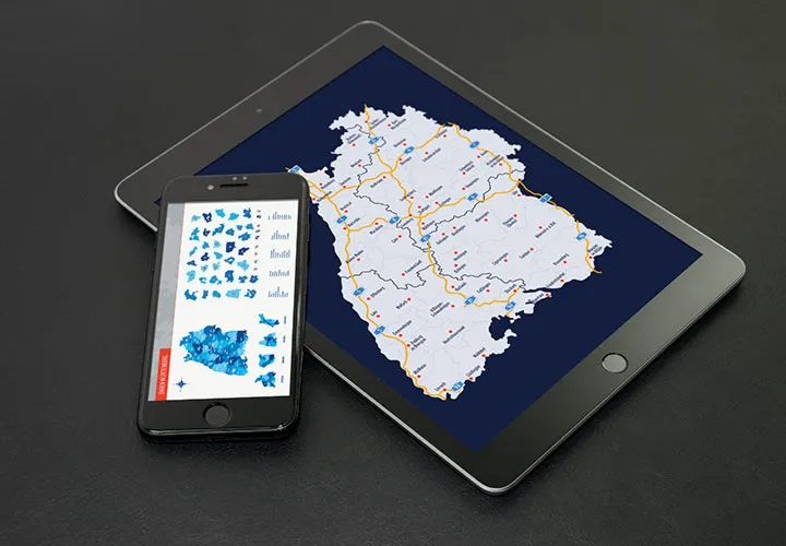
Card material for your designs
Card material for your designs
Prepared across the entire area
Download map templates
Use the cards for web and print
It's so easy to use the right map for web and print
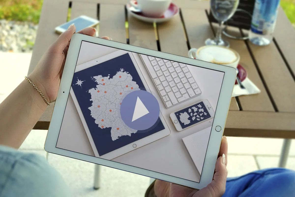
Site plans, illustrations with maps or location visualizations - set your goals quickly and easily with our professional templates in vector quality . For example, download all maps of the German federal states. Available as AI, EPS, PSD and cropped PNG files - all in three versions. You can simply use the groundbreaking designs from the default settings - or explore new colorful territory. Easily implemented in the graphics program of your choice.
Edit the maps with your software
Straight to the goal - thanks to great software compatibility
Are you designing with Illustrator, Affinity Designer or Photoshop on tour? Do you have another popular design program in mind? You have a free hand. Simply open your desired map , start your print or web project - and you can use the result yourself or send it on its way to the customer. Get Bavaria, Saxony, Baden-Württemberg or even the whole world!