Map of Thuringia with counties
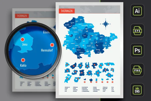
The map of Thuringia with highways, individually usable maps of counties and independent cities as well as 50 markers of cities - vector quality and all in one package! Use the map on your website or for your next flyer, for example. You can adjust the colors and size as desired.
- Map of Thuringia with maps of the 17 districts and 6 independent cities
- From Altenburger Land to Weimar, you can also use the regions individually
- With markers of 50 cities that you can show and hide individually
- Two designs per card: with borders as an outline and with varying colored areas, color customizable
- Maps of Thuringia for Illustrator (AI), Photoshop (PSD), common vector programs such as Affinity Designer (EPS, SVG)
- High-resolution PNG files for common editing programs
The map of Thuringia is now available for all your designs, whether for web or print, at any time - simply download, adapt and insert.
- Usable with:
- content:
63
Assets/Templates
- Licence: private and commercial Rights of use
Examples of use
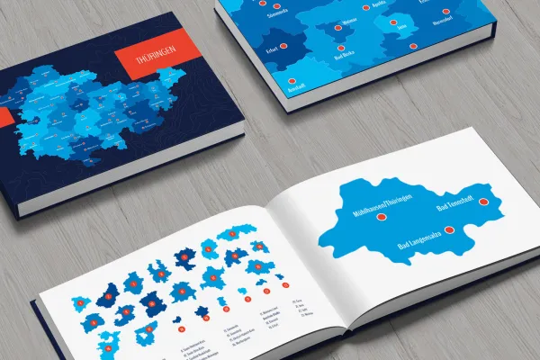
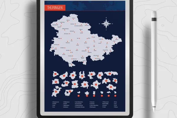
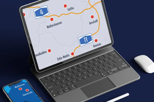
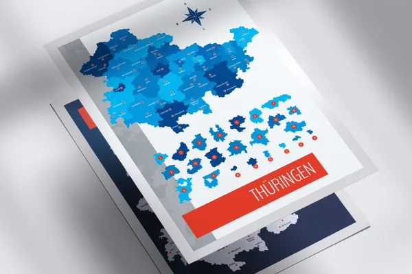
Map of Thuringia with districts available for download
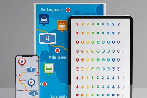
Bonus: Icons for labeling.
Details of the content
Thuringia with all districts and independent cities
Use maps of Th uringia for illustrative purposes, to display locations and for location information. The maps can be adjusted in size and color in your favorite program. Print quality is guaranteed!
Thuringia in three map versions
The map of Thuringia is available in three versions. You can use the default designs or adjust the colors:
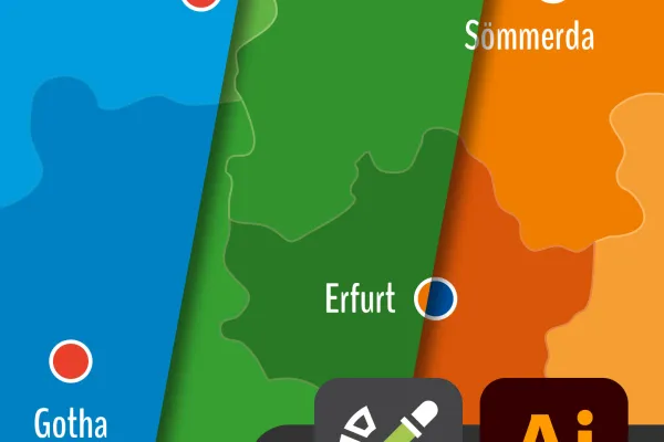
- Variant 1 shows Thuringia with all districts and independent cities, with their areas separated by different colors.
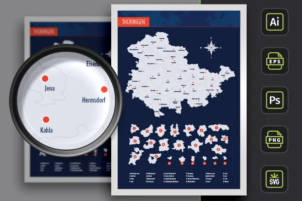
- Variant 2 uses monochrome (in this case light gray) areas. The districts and independent cities of Thuringia are represented by boundary lines.
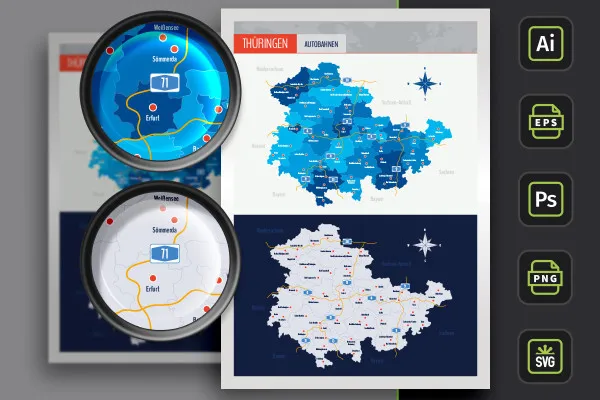
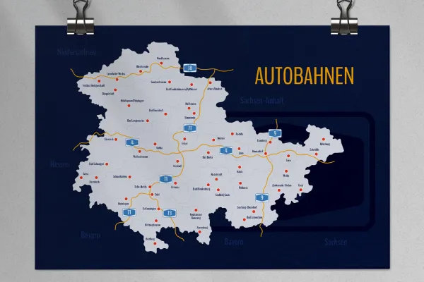
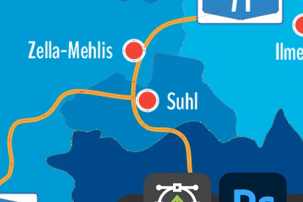
- Variant 3 offers you both designs again, in which the highways of Thuringia have also been drawn in.
Freely scalable maps for web and print
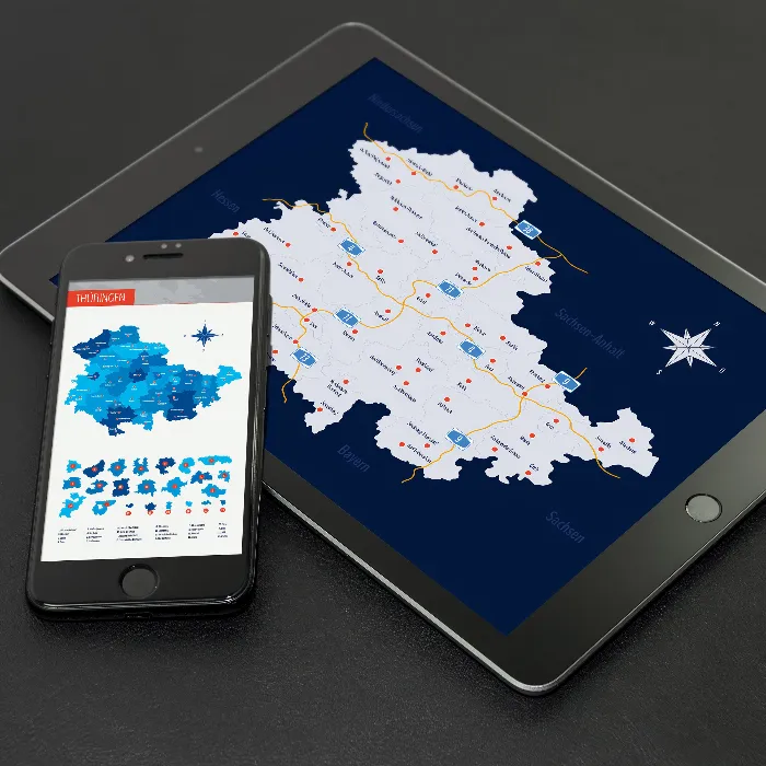
The maps are based on vectors or shapes and can be resized at will. This ensures that you can use the maps both on the web and in print products. The sharpness of the edges is perfectly retained when scaling. Use the maps to show company locations, for example, or to create illustrative elements, such as for blog posts on a website.
You can use the map of Thuringia as a whole or access the individual districts and independent cities as required. The colors can also be easily adjusted. An alphabetically sorted list helps you to find a specific region. You can also show and hide the location markers of 50 cities individually as required.
Are you looking for maps of other federal states or even the whole world? Then take a look at our map category. There you will find maps for Saxony, Brandenburg and Berlin, among others. You can also find more modern location icons to indicate your location on maps.
Files for your software - how to use the templates
You can use your favorite software to edit the maps . The maps of Thuringia, the districts and independent cities are available to you in various file formats:
You can use the AI files in Adobe Illustrator and the EPS and SVG files in other vector programs such as Affinity Designer. In Photoshop, you can use the PSD files. The formats are based on shapes or vectors - so you can enlarge or reduce the maps as you wish without any loss of quality.
No Photoshop? No vector program? Then we recommend the high-resolution PNG files for all common graphics and layout programs. In this case, the maps are placed on a transparent background.
All districts and independent cities can be used individually
You can use the maps of Thuringia in their entirety. If you only want to display or highlight a specific region, you can access the individually usable districts . Your maps at a glance:
- Thuringia in full view with counties, independent cities and highways
- Counties: Altenburger Land, Eichsfeld, Gotha, Greiz, Hildburghausen, Ilm-Kreis, Kyffhäuserkreis, Nordhausen, Saale-Holzland-Kreis, Saale-Orla-Kreis, Saalfeld-Rudolstadt, Schmalkalden-Meiningen, Sömmerda, Sonneberg, Unstrut-Hainich-Kreis, Wartburgkreis, Weimarer Land
- District cities: Eisenach, Erfurt, Gera, Jena, Suhl, Weimar
- Cities: Altenburg, Apolda, Arnstadt, Artern/Unstrut, Bad Berka, Bad Blankenburg, Bad Frankenhausen/Kyffhäuser, Bad Langensalza, Bad Lobenstein, Bad Salzungen, Bad Tennstedt, Bleicherode, Dermbach, Dingelstädt, Eisenach, Eisenberg, Erfurt, Geisa, Gera, Gotha, Greiz, Heilbad Heiligenstadt, Heldburg, Hermsdorf, Hildburghausen, Ilmenau, Jena, Kahla, Leinefelde-Worbis, Meiningen, Mühlhausen/Thuringia, Neuhaus am Rennweg, Nordhausen, Pößneck, Rudolstadt, Saalburg-Ebersdorf, Saalfeld/Saale, Schleusingen, Schmalkalden, Schmölln, Sömmerda, Sondershausen, Sonneberg, Suhl, Waltershausen, Weida, Weimar, Weißensee, Zella-Mehlis, Zeulenroda-Triebes
Legal information
The areas of the federal state of Thuringia and the urban and rural districts have been sketched in for illustrative purposes and are primarily used for design information purposes such as location markings etc. The maps make no claim to cartographic and topographical accuracy and may show slight deviations in scale.
Other users are also interested
How to build trust with customers
Quickly create high-quality business equipment

With flyer, business card & Co.

25 icons in different, editable variants

For complete business equipment

Effectively create modern slides

Fully equipped from flyer to roll-up

From the business card to the roll-up


