Map of Saxony-Anhalt with counties
Would you like to display the map of Saxony-Anhalt on a website or in a brochure, for example? Then this is your template: Download the map of the federal state with the individually usable districts and independent cities and place Saxony-Anhalt in your scene. Including highways and markings of over 60 cities - and of course in scalable print quality!
- Map of Saxony-Anhalt with maps of the 11 districts and 3 independent cities
- From Altmarkkreis Salzwedel to Wittenberg you can also use the regions individually
- With markers for over 60 cities that you can show and hide individually
- Two designs per card: with borders as an outline and with varying colored areas, color customizable
- Map templates for Illustrator (AI), Photoshop (PSD), vector programs such as Affinity Designer (EPS, SVG)
- High-resolution PNG files for common editing programs
Whether you need them to show the location or as an illustrative element - download the maps of Saxony-Anhalt once and use them whenever you need them.
- Usable with:
- content:
45
Assets/Templates
- Licence: private and commercial Rights of use
Examples of use
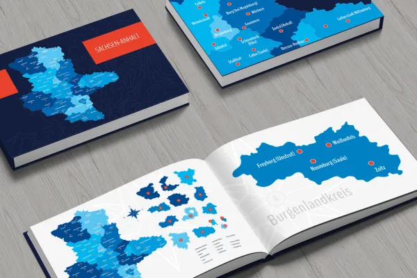
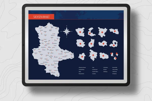
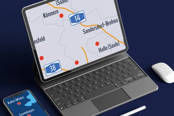
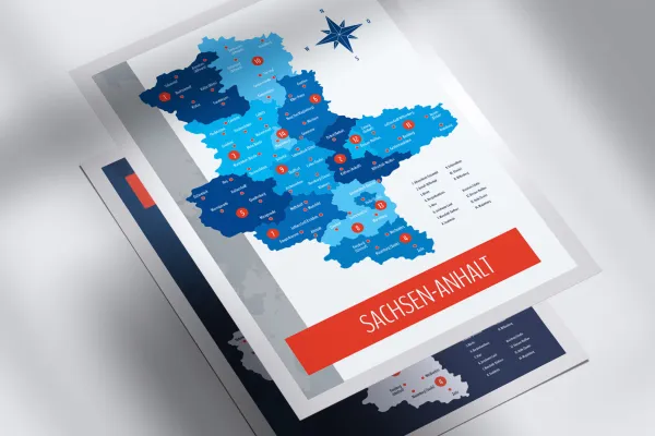
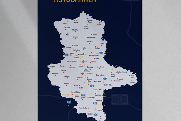
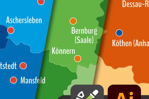
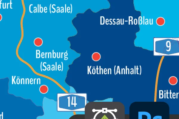

Map of Saxony-Anhalt with districts for download.
Bonus: Icons for labeling
Details of the content
Saxony-Anhalt with all districts and independent cities
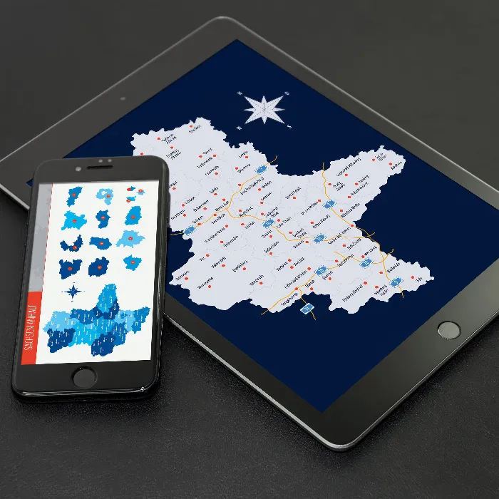
Use the maps of Saxony-Anhalt , for example, for illustrative purposes, for displaying locations and for location information. Best of all, you can easily adjust the size and color of the maps in your favorite program to suit your needs. Print quality is guaranteed!
Saxony-Anhalt in three map versions
The map of Saxony -Anhalt is available in three versions. You can use the default designs or adjust the colors:
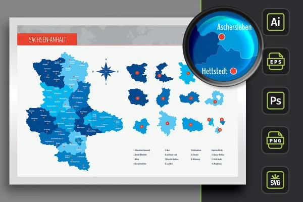
- Variant 1 shows Saxony-Anhalt with all districts and independent cities, whereby their areas are separated from each other by different colors.
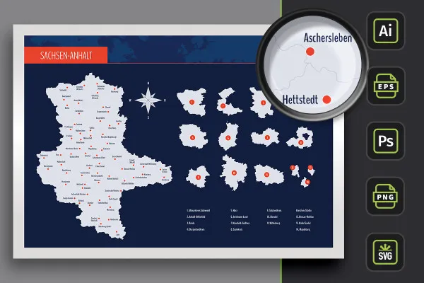
- Variant 2 uses monochrome (in this case light gray) areas. The districts and independent cities of Saxony-Anhalt are represented by boundary lines.
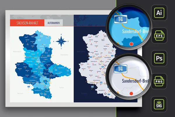
- Variant 3 offers you both designs again, in which the highways of Saxony -Anhalt have also been drawn in.
Freely scalable maps for web and print
The maps based on vectors or shapes can be resized at will. This ensures that you can use the maps of Saxony-Anhalt on the web and in print products. The sharpness of the edges is perfectly retained when scaling. Use the maps to depict company locations, for example, or to create illustrative elements, such as for blog posts on a website.
You can use the map of Saxony-Anhalt as a whole or access the individual districts and independent cities as required. The colors can also be easily adjusted. An alphabetically sorted list helps you to find a specific region. In addition, the markers of over 60 cities are displayed, which you can show or hide individually as required.
Are you looking for maps of other federal states? Then take a look at our maps category. There you will find maps for Saxony, Brandenburg and Berlin, among others. You can also find more modern location icons to indicate your location on maps.
Files for your software - how to use the templates
You can use your favorite software to edit the maps . The maps of Saxony-Anhalt, the districts and independent cities are available to you in various file formats:
You can use the AI files in Adobe Illustrator and the EPS and SVG files in other vector programs such as Affinity Designer. In Photoshop, you can use the PSD files. The formats are based on shapes or vectors so that you can enlarge and reduce the maps without any loss of quality.
Don't have a vector program or Photoshop? Then we recommend the high-resolution PNG files for all common graphics and layout programs. In this case, the maps are placed on a transparent background.
All districts and independent cities can be used individually
You can use the maps of Saxony-Anhalt in their entirety. If you only want to display or highlight a specific region, you can access the individually usable districts . Your maps at a glance:
- Saxony-Anhalt in full view with counties, independent cities and highways
- Counties: Altmarkkreis Salzwedel, Anhalt-Bitterfeld, Börde, Burgenlandkreis, Harz, Jerichower Land, Mansfeld-Südharz, Saalekreis, Salzlandkreis, Stendal, Wittenberg
- District cities: Dessau-Roßlau, Halle (Saale), Magdeburg
- Towns: Allstedt, Annaburg, Arendsee (Altmark), Aschersleben, Beetzendorf, Bernburg (Saale), Bitterfeld-Wolfen, Burg (near Magdeburg), Calbe (Saale), Calvörde, Colbitz, Coswig (Anhalt), Dessau-Roßlau, Elbe-Parey, Erxleben, Flechtingen, Freyburg (Unstrut), Gardelegen, Genthin, Gommern, Gräfenhainichen, Halberstadt, Haldensleben, Halle (Saale), Harzgerode, Havelberg, Hettstedt, Hohe Börde, Huy, Jessen (Elster), Kalbe (Milde), Kemberg, Klötze, Könnern, Köthen (Anhalt), Lutherstadt Eisleben, Lutherstadt Wittenberg, Magdeburg, Mansfeld, Merseburg, Möckern, Naumburg (Saale), Oschersleben, Osterburg (Altmark), Osterwieck, Quedlinburg, Querfurt, Salzwedel, Sandersdorf-Brehna, Sangerhausen, Schönebeck (Elbe), Seehausen (Altmark), Stendal, Staßfurt, Sülzetal, Tangerhütte, Tangermünde, Teutschenthal, Wanzleben-Börde, Weißenfels, Wernigerode, Wolmirstedt, Zeitz, Zerbst/Anhalt
Legal information
The areas of the federal state of Saxony-Anhalt and the urban and rural districts have been sketched in for illustrative purposes and are primarily intended for design information purposes such as location markings, etc. The maps make no claim to cartographic and topographical accuracy and may show slight deviations in scale.
Other users are also interested

From the business card to the roll-up
Quickly create high-quality business equipment

With flyer, business card & Co.
How to build trust with customers

Effectively create modern slides

For complete business equipment

Fully equipped from flyer to roll-up

25 icons in different, editable variants


