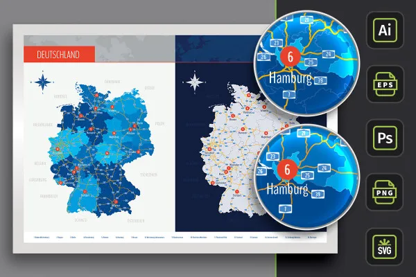
Map of Germany
with federal states
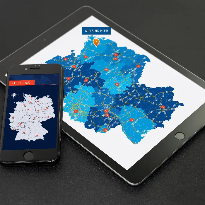
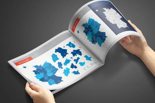
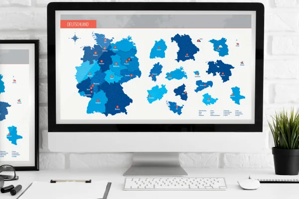
Map of Germany with federal states in vector quality
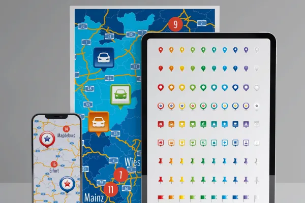
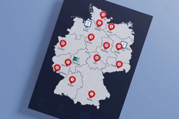
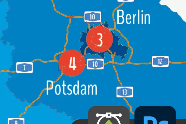
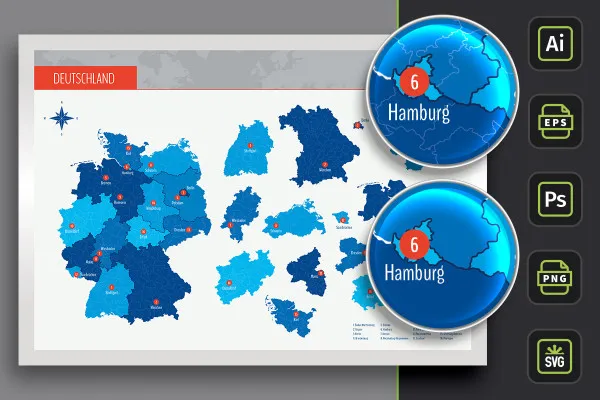
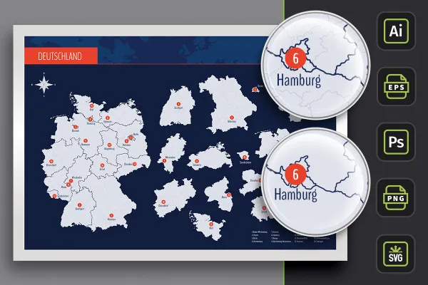
Excellent for printing on small and large surfaces and ideal for displaying on the web: With this map of Germany, you can snap up the entire country and all 16 federal states in top vector quality. Download once - use again and again: two customizable designs, with freeways and the capitals of the federal states plus icons for marking locations on maps.
- Vector-based map of Germany with all federal states, which can also be used individually
- Scalable in size without loss and therefore suitable for small and large displays
- Use the map of Germany as an illustrative element or to indicate location
- Included: two design variants and the option to display highways and capital cities
- Files specially prepared for Adobe Illustrator (AI) and Photoshop (PSD)
- Applicable in common graphics (PNG) and vector programs (EPS), e.g. Affinity Designer; incl. SVG files
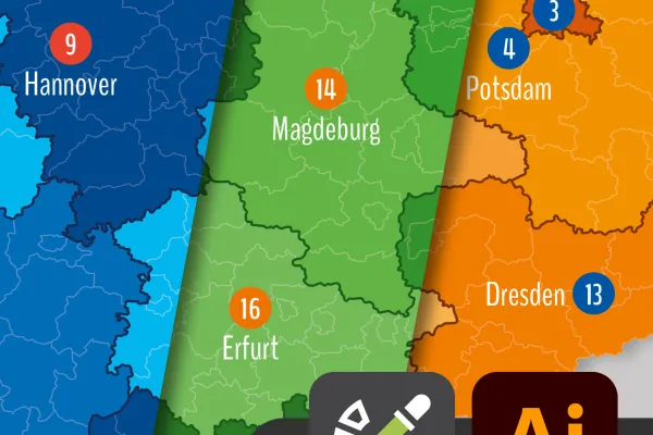
- Bonus I: Representation of all counties in the Illustrator, PNG, SVG and EPS files
- Bonus II: 9 vector-based icons in 10 color variants each for marking locations
Whether in the imprint of your website, on a flyer or poster - this map of Germany adapts to any size in web and print without loss! Download directly now.


