Map of Rhineland-Palatinate with counties
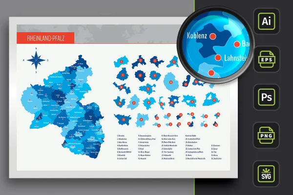
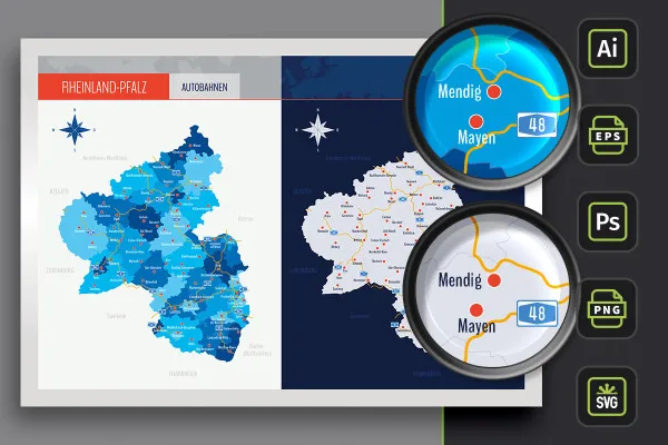
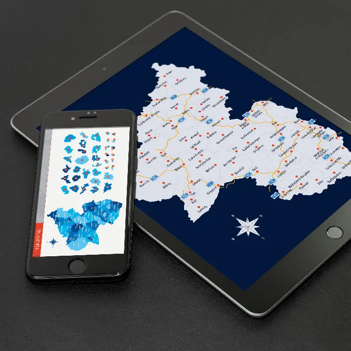
All of Rhineland-Palatinate on a beautifully designed map! Download the freely scalable maps and insert them into your layouts for print and web. Best of all, you can also display districts and independent cities individually. A map with highways is also included. And the locations of over 60 cities can be shown or hidden individually as required.
- Map of Rhineland-Palatinate with maps of the 24 administrative districts and 12 independent cities
- With markings of 68 cities that you can show and hide individually
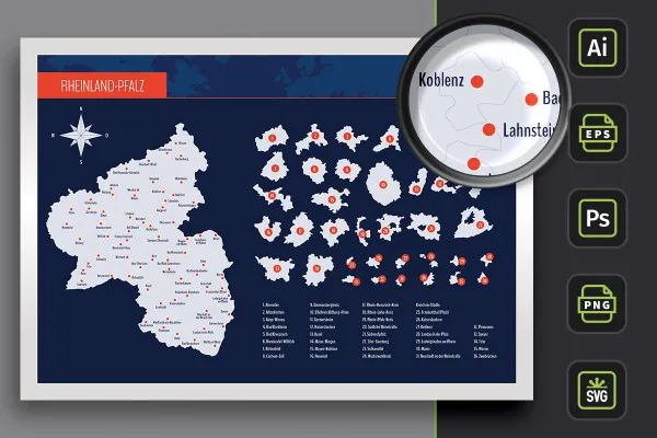
- Two designs per card: with borders as an outline and with varying colored areas, color customizable
- Maps of Rhineland-Palatinate for Illustrator (AI), Photoshop (PSD), common vector programs such as Affinity Designer (EPS, SVG)
- High-resolution PNG files for common editing programs
Whether flyer, brochure or website - the map of the federal state of Rhineland-Palatinate is now available to you at any time. Download now!
- Usable with:
- content:
90
Assets/Templates
- Licence: private and commercial Rights of use
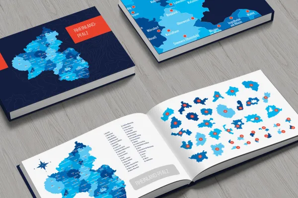
Examples of use
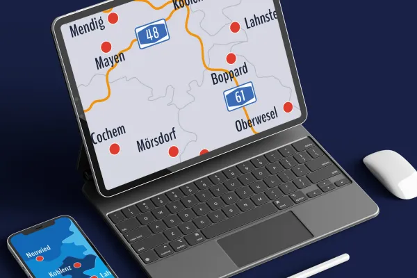
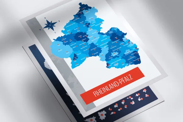
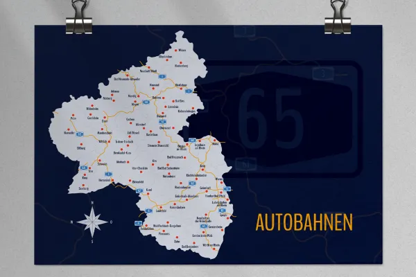
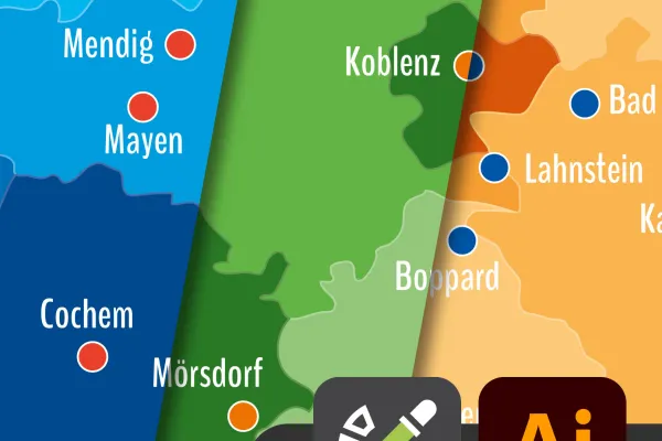
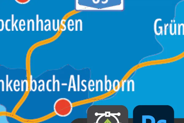
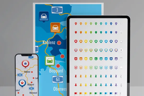
Map of Rhineland-Palatinate
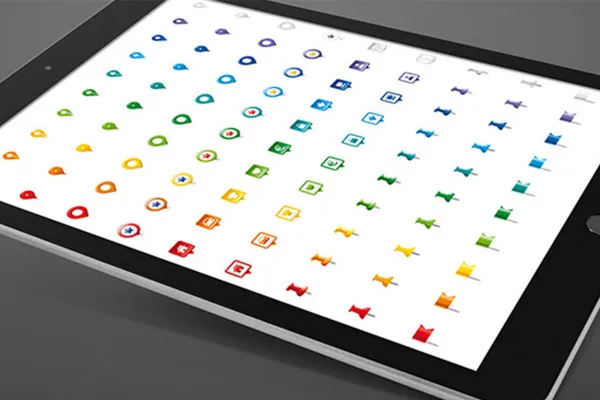
Bonus: Icons for marking
Details of the content
Rhineland-Palatinate with all districts and independent cities
For illustrations, location representations and location information: The maps of Rhineland-Palatinate offer you maximum flexibility in editing - files for different programs, freely scalable in size and fully customizable in color.
Rhineland-Palatinate in three map versions
The map of Rhineland-Palatinate is available in three versions. You can use the default designs or adjust their colors:
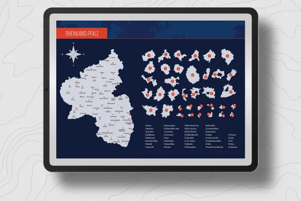
- Variant 1 shows Rhineland-Palatinate with all districts and independent cities, with their areas separated by different colors.
- Variant 2 uses monochrome (in this case light gray) areas. Counties and independent cities in Rhineland-Palatinate are represented by boundary lines.
- Variant 3 offers you both designs again, in which the highways of Rhineland-Palatinate have also been drawn in.
Sharp edges in any size - maps for web and print
Whether you want to prepare the maps in small format for your website or in large format for a print product - these templates can be resized without any loss of quality! Even on posters or roll-ups, the edges remain perfectly sharp. Use the maps to show company locations or create illustrative elements, for example.
Insert the whole of Rhineland-Palatinate directly into your designs or use the areas of individual districts or independent cities if required. You can adjust the colors according to your wishes. An alphabetically sorted list helps you to find the region you are looking for. You can also show and hide the locations of over 60 cities.
If you are looking for maps of other federal states, take a look at our maps category. There you will not only find maps for Mecklenburg-Vorpommern or Lower Saxony, but also for the whole world. You will also find other modern location icons for indicating locations on maps.
Files for different programs - how to use the maps
You can use your favorite software to edit the maps. The maps of Rhineland-Palatinate and the districts and independent cities are available in various file formats:
You can use the AI files in Adobe Illustrator and the EPS and SVG files in other vector programs such as Affinity Designer. In Photoshop, you can use the included PSD files. The formats are based on shapes or vectors, so you can enlarge and reduce the maps as you wish without any loss of quality.
If you don't have a vector program or Photoshop, we recommend the high-resolution PNG files for all common graphics and layout programs. Here, the maps are cut out in front of a transparent background and you can incorporate them directly.
All counties and independent cities can be used individually
You can use the entire map of Rhineland-Palatinate directly. If you only want to display or highlight a specific region, you can access the individually usable counties and independent cities . Your maps at a glance:
- Rhineland-Palatinate in the overall view with counties, independent cities and highways
- Counties: Ahrweiler, Altenkirchen, Alzey-Worms, Bad Dürkheim, Bad Kreuznach, Bernkastel-Wittlich, Birkenfeld, Cochem-Zell, Donnersbergkreis, Eifelkreis Bitburg-Prüm, Germersheim, Kaiserslautern, Kusel, Mainz-Bingen, Mayen-Koblenz, Neuwied, Rhein-Hunsrück-Kreis, Rhein-Lahn-Kreis, Rhein-Pfalz-Kreis, Südliche Weinstraße, Südwestpfalz, Trier-Saarburg, Vulkaneifel, Westerwaldkreis
- District cities: Frankenthal (Pfalz), Kaiserslautern, Koblenz, Landau in der Pfalz, Ludwigshafen am Rhein, Mainz, Neustadt an der Weinstraße, Pirmasens, Speyer, Trier, Worms, Zweibrücken
- Cities: Adenau, Altenkirchen, Alzey, Bad Bergzabern, Bad Ems, Bad Kreuznach, Bad Neuenahr-Ahrweiler, Bad Sobernheim, Bernkastel-Kues, Bingen am Rhein, Birkenfeld, Bitburg, Boppard, Cochem, Dahn, Daun, Enkenbach-Alsenborn, Frankenthal (Pfalz), Germersheim, Gerolstein, Grünstadt, Hachenburg, Hermeskeil, Hildesheim, Idar-Oberstein, Ingelheim am Rhein, Kaiserslautern, Kastellaun, Katzenelnbogen, Kirchheimbolanden, Kirn, Koblenz, Konz, Kusel, Lahnstein, Landau in der Pfalz, Landstuhl, Ludwigshafen am Rhein, Mayer, Manderscheid, Mayen, Meisenheim, Mendig, Montabaur, Morbach, Mörsdorf, Neustadt (Wied), Neustadt an der Weinstraße, Neuwied, Nürburg, Oberwesel, Pirmasens, Prüm, Rockenhausen, Saarburg, Schweich, Simmern (Hunsrück), Speyer, Traben-Trarbach, Trier, Waldfischbach-Burgalben, Waxweiler, Wissen, Wittlich, Worms, Wörth am Rhein, Zell (Mosel), Zweibrücken
Legal information
The areas of the federal state of Rhineland-Palatinate and the urban and rural districts have been sketched for illustrative purposes and are primarily used for design information purposes such as location markings etc. The maps make no claim to cartographic and topographical accuracy and may show slight deviations in scale.
Other users are also interested
From the business card to the roll-up
Effectively create modern slides

25 icons in different, editable variants

With flyer, business card & Co.

Fully equipped from flyer to roll-up
How to build trust with customers

For complete business equipment
Quickly create high-quality business equipment


